Executive Overview
Ghana’s coastal infrastructure faces mounting climate risks that threaten the resilience of its maritime economy, urban settlements, and ecological zones. The Climate Risk Assessment for Coastal Assets provides a comprehensive evaluation of sea-level rise, erosion patterns, storm surge exposure, and infrastructure vulnerability across key coastal regions including Accra, Tema, Takoradi, and Ada. Drawing on satellite imagery, GIS mapping, and hydrodynamic modeling, the report identifies high-risk zones and proposes adaptation strategies to safeguard port facilities, roads, housing, and fisheries.
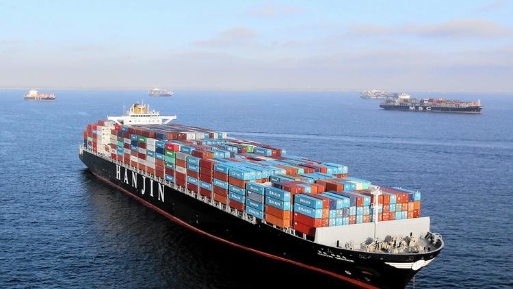
Between 2023 and 2025, Ghana experienced a measurable increase in tidal anomalies and shoreline retreat, with erosion rates exceeding 1.5 meters per year in parts of the Volta Delta and Western Region. Port infrastructure, especially bulk terminals and access roads, showed signs of structural stress due to saltwater intrusion and foundation destabilization. The assessment highlights that over 40% of Ghana’s coastal assets are located within zones classified as “high exposure,” with Tema and Takoradi ports ranking among the most vulnerable due to their proximity to low-lying floodplains and aging drainage systems.
The report also examines the socioeconomic impact of climate threats, noting that over 2 million people live within 5 kilometers of Ghana’s coastline, many of whom depend on fishing, trade, and tourism. Displacement risks, loss of livelihoods, and infrastructure damage could compound existing development challenges unless proactive measures are taken. Recommended interventions include shoreline reinforcement using eco-engineering techniques, relocation of critical assets, and integration of climate resilience into port master plans and urban zoning regulations.
A key innovation in the assessment is the use of a Coastal Resilience Index, which scores each region based on exposure, adaptive capacity, and institutional readiness. Greater Accra scored moderately due to its planning frameworks and early warning systems, while the Volta Estuary and Western enclaves scored lower due to limited infrastructure and fragmented governance. The report calls for a national climate adaptation fund and inter-agency coordination to accelerate implementation of resilience measures.
In summary, the Climate Risk Assessment for Coastal Assets underscores the urgency of climate-proofing Ghana’s maritime infrastructure. It offers a data-driven foundation for policy reform, investment prioritization, and community engagement. As climate volatility intensifies, Ghana’s ability to adapt will define the sustainability of its coastal economy and the safety of its shoreline communities.
Population at Risk by Proximity to Coastline
1 - 3km
3-5km
More than 5km
Less than 1km
Expert Quote from
Dr. Selorm Tetteh, Coastal Engineer, Coastal Resilience Lab
Coastal resilience isn’t a luxury — it’s a frontline defense for Ghana’s maritime economy and the millions who depend on it.